

Géotéca
Géotéca est une plateforme de recherche mutualisée d’Université Paris Cité dédiée à la donnée numérique et géographique et à l’image.
Elle assure 3 missions principales :
- l’accueil d’étudiant-e-s et de chercheur-e-s dans des salles de travail
- la mutualisation de matériel
- le soutien à la recherche via la diffusion des connaissances et des ressources d’ingénierie.
Elle bénéficie pour cela du soutien de ses 16 structures partenaires.
Notre offre de services
Accueil
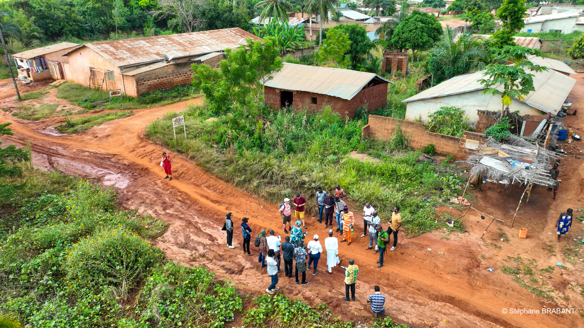
Accueil des chercheurs, chercheuses, doctorant·e·s et étudiant·e·s, dans des salles de travail dédiées, équipées de postes de travail et de logiciels spécialisés.
Mutualisation d’équipements
Diffusion des connaissances
Ingénierie et méthodes
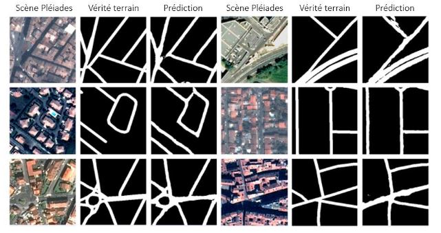
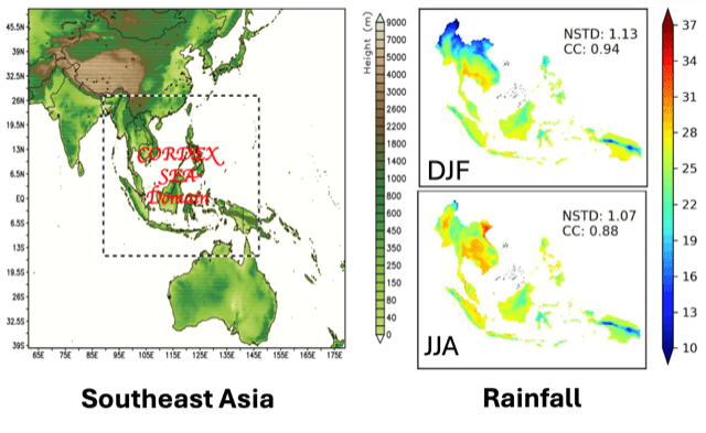
Appui aux projets de recherche en traitement, analyse et représentation de données numériques à caractère géographique.
Actualités
Géotéca

Les midis et ateliers de Géotéca

Nos partenaires